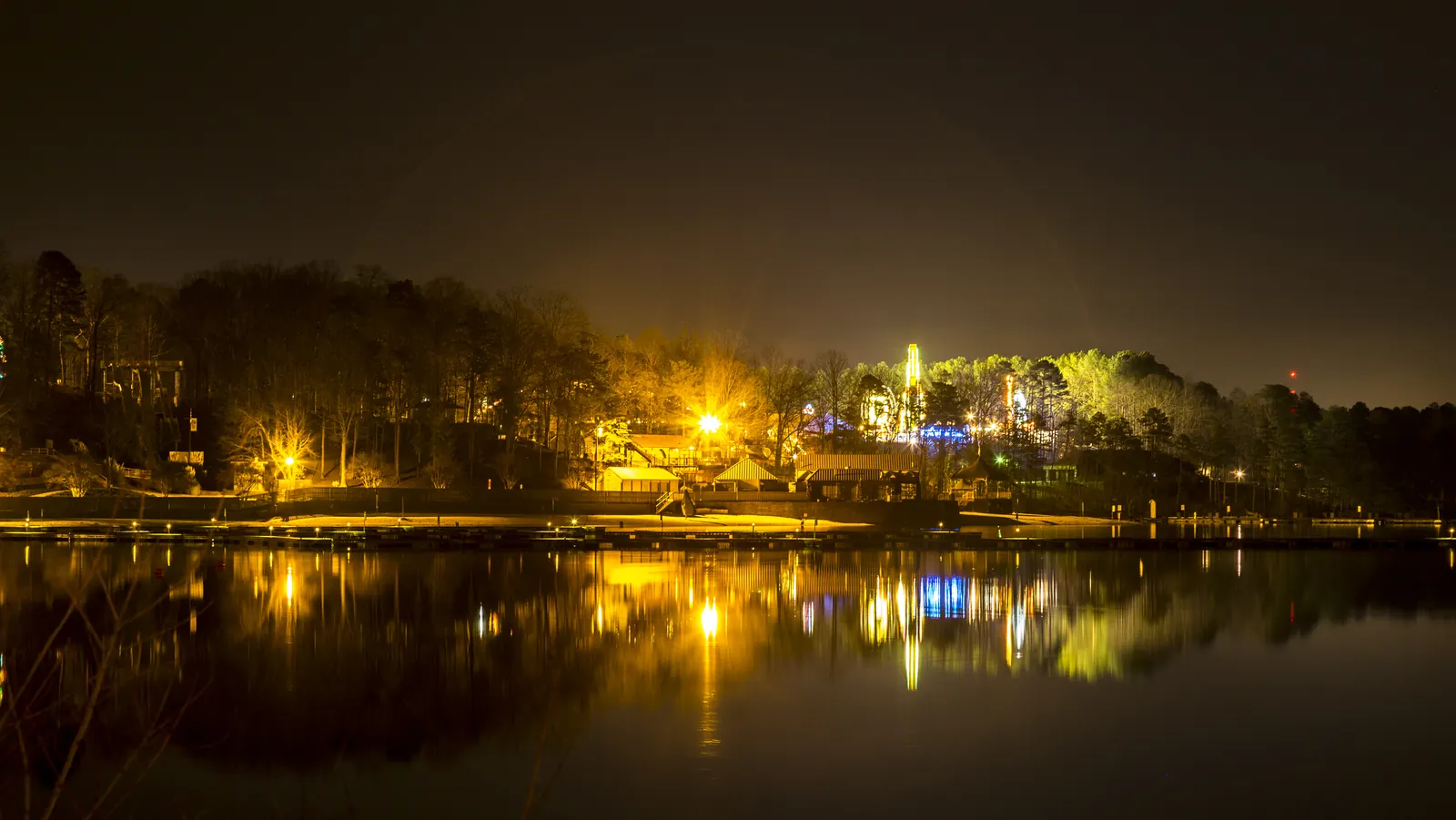
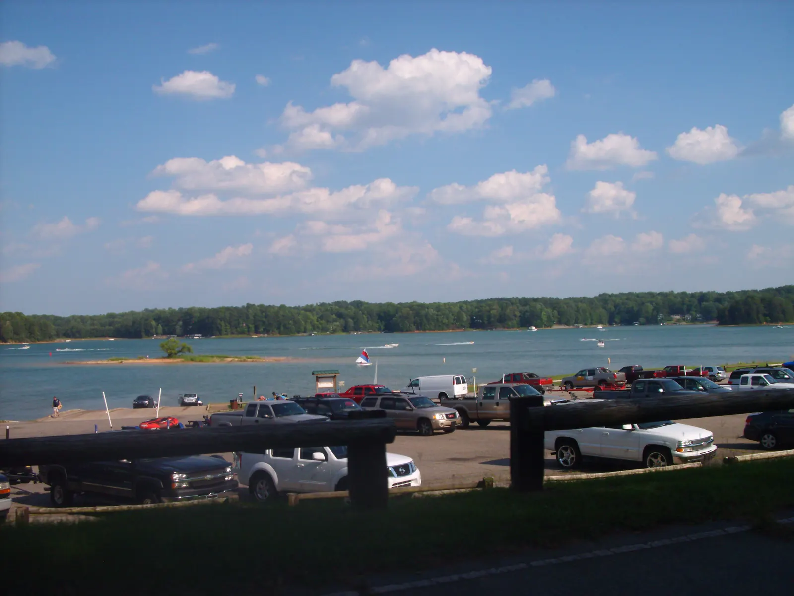
If you search for a boat ramp in Flowery Branch, one online ramp directory lists Flowery Branch Bay Park as a free ramp. The City of Flowery Branch runs the park, and its Bay Park page says the opposite: the park does not have a boat ramp. We go with the City. Here is what the park does have, and where to put a trailered boat in the water instead.
What does Flowery Branch Bay Park have?
Bay Park is a place to fish and sit by the water. The City lists shore fishing and pier fishing. It has a pavilion you can reserve through the City, but the pavilion has no lights, so plan to be done before dark. A train runs along the water’s edge beside the park; trains still pass through town even though they no longer stop.
The City does not give the park a street address. Its directions are: take I-985 to Exit 12, go west on Phil Niekro Blvd. to Atlanta Highway, cross the railroad tracks and follow the signs. The signs also point to Hideaway Bay Marina and the lakeside grill, which helps, because that is where the ramp is.
- Flowery Branch Bay Park has shore and pier fishing but no boat ramp. The City says there are boat ramps next door at Hideaway Bay Marina, formerly Starboard Cove Marina, and a train runs along the water's edge by the park. City of Flowery Branch: Flowery Branch Bay Park
- The City's directions to Bay Park: take I-985 to Exit 12, go west on Phil Niekro Blvd. to Atlanta Highway, cross the railroad tracks and follow the signs. The park pavilion can be reserved; it has no lights. City of Flowery Branch: Flowery Branch Bay Park
Where is the nearest boat ramp to Bay Park?
Next door. The City says there are boat ramps at Hideaway Bay Marina, which it notes was formerly Starboard Cove Marina. The marina now trades as Safe Harbor Hideaway Bay, at 6334 Mitchell St. Its own page lists Flowery Branch Park 0.3 miles away and downtown about 1 mile away, along with wet slips, dry storage, a fuel dock and the FishTales restaurant.
We have not found a published launch fee for Hideaway Bay, and we will not guess one. Call the marina before you tow; the questions to ask are further down this page.
Can you launch at Aqualand?
Safe Harbor Aqualand is at 6800 Lights Ferry Rd. and also lists downtown Flowery Branch as 1 mile away. Its page lists wet slips, dry storage, a fuel dock and the Pig Tales restaurant. The City describes Aqualand as the largest inland marina in the United States; that is the City’s description, not a measurement we have checked.
Some older pages quote a daily launch fee for Aqualand. Safe Harbor’s current Aqualand page does not show one, so we do not print it. If you want to launch there, ask the marina whether it takes trailered boats from the public and what it charges. Both marinas are businesses with their own rules, so the marina’s answer is the one that counts.
What about Corps of Engineers ramps?
Lake Lanier is a U.S. Army Corps of Engineers lake. The Corps says it has 76 recreation areas, including 37 Corps-operated parks and campgrounds and 10 marinas, around more than 690 miles of shoreline. Who runs a park decides its fees, hours and season, so read that operator’s page before you go.
Our lake access page matches what you want to do (launch, swim, fish from a pier, rent a slip) with places around Flowery Branch, and it prints each fee exactly as the operator publishes it, with the date we checked.
Decision tool · lake access
Which Lake Lanier access fits you?
Tell us what you want to do on the water. We match you to the parks, ramps, beaches and marinas near downtown Flowery Branch that offer it, using what each operator publishes, and flag anything they do not say.
Every access point near downtown, side by side
| Lake access | Boat ramp | Swim beach | Marina | Fishing | Picnic | Camping | Restrooms |
|---|---|---|---|---|---|---|---|
| Safe Harbor Hideaway BaySafe Harbor Marinas · 0.4 mi | Yes | Not published | Yes | Not published | Not published | Not published | Yes |
| Flowery Branch Bay ParkCity of Flowery Branch · 0.5 mi | No | Not published | Not published | Yes | Yes | Not published | Yes |
| Safe Harbor AqualandSafe Harbor Marinas · 2.1 mi | Not published | Not published | Yes | Not published | Not published | Not published | Yes |
| Old Federal Day Use ParkU.S. Army Corps of Engineers, jointly managed with Hall County Parks & Leisure · 3 mi | Yes | Not published | Not published | Not published | Not published | Not published | Not published |
| Old Federal CampgroundU.S. Army Corps of Engineers, jointly managed with Hall County Parks & Leisure · 3 mi | Yes | Yes | Not published | Yes | Yes | Yes | Yes |
| Van Pugh North Day Use ParkU.S. Army Corps of Engineers, jointly managed with Hall County Parks & Leisure · 3.2 mi | Yes | Yes | Not published | Not published | Yes | Not published | Not published |
| Van Pugh South Day Use FacilityU.S. Army Corps of Engineers (not under Hall County Parks & Leisure) · 3.3 mi | Yes | Not published | Not published | Not published | Yes | No | Yes |
| Burton Mill ParkU.S. Army Corps of Engineers, jointly managed with Hall County Parks & Leisure · 3.3 mi | Yes | Not published | Not published | Not published | Not published | Not published | Not published |
| Balus Creek Water Access PointU.S. Army Corps of Engineers, jointly managed with Hall County Parks & Leisure · 4.8 mi | Yes | Not published | Not published | Not published | Not published | Not published | Not published |
| Mountain View Water Access PointU.S. Army Corps of Engineers, jointly managed with Hall County Parks & Leisure · 5 mi | Yes | Not published | Not published | Not published | Not published | Not published | No |
| Shoal Creek CampgroundShoal Creek Campground (USACE schedule lists Lake Lanier Islands as the managing agency) · 5.6 mi | Yes | Yes | Not published | Not published | Yes | Yes | Yes |
| Lanier Islands Resort (Land Shark Beach and Margaritaville at Lanier Islands)Lanier Islands Resort; water park and lake activities operated by Margaritaville at Lanier Islands · 6 mi | Not published | Yes | Yes | Not published | Not published | Not published | Not published |
Check = the operator says yes. Dash = the operator says no. Question mark = the operator does not say; ask before you go. Miles are straight-line from the historic depot.
Features, fees and seasons come from each operator's own page (U.S. Army Corps of Engineers, Hall County, the City of Flowery Branch or the marina), checked 2026-10-17. Distances are straight lines from the depot, not driving routes.
Want the lake closer than a drive? Some homes around Flowery Branch sit minutes from these ramps and marinas.
Why does it matter which ramp you pick?
Because the lake is big. A Corps listing on Recreation.gov gives Lake Lanier 38,000 surface acres, 690 miles of shoreline and over 100 small islands. A ramp that sounds close by name can be a long drive by road. Launching next to Bay Park puts you on the water a mile from downtown.
The Corps says Buford Dam was built from 1951 to 1956 on the Chattahoochee River and formed Lake Sidney Lanier, and that the lake welcomes over 7.5 million people a year. Its deepest point, near the dam, is 160 feet at full pool, which the Corps puts at 1,071 feet above sea level.
- A U.S. Army Corps of Engineers listing on Recreation.gov says Lake Lanier has 38,000 surface acres, 690 miles of shoreline and over 100 small islands. Recreation.gov: Buford Dam Park Shelters (U.S. Army Corps of Engineers facility listing)
- The Corps says Buford Dam was authorized by Congress in 1946, built from 1951 to 1956 on the Chattahoochee River about 25 miles northeast of downtown Atlanta, and formed Lake Sidney Lanier. Its power plant came online in 1958. U.S. Army Corps of Engineers, Mobile District: Hydropower (Internet Archive capture of April 22, 2021; live site returns 403)
- The Corps says Lake Lanier welcomes over 7.5 million people a year and is the most-visited U.S. Army Corps of Engineers project. U.S. Army Corps of Engineers, Mobile District: Hydropower (Internet Archive capture of April 22, 2021; live site returns 403)
- The Corps says the lake's deepest point, near Buford Dam, is 160 feet deep at full pool (1,071 feet above sea level). The main dam is 192 feet high and 2,360 feet long. U.S. Army Corps of Engineers, Mobile District: Lake Sidney Lanier FAQ (Internet Archive capture of Dec. 5, 2025; live site returns 403)
What should I ask a marina before I tow?
- Is the ramp open to boats that do not keep a slip there?
- What is the launch fee, and how do I pay it?
- Where do I park the truck and trailer, and is there a charge?
- What hours is the ramp open on the day I plan to come?
We do not have published answers to these for either marina. A two-minute call answers all four and saves a wasted drive with a boat behind you.
What is near Bay Park once you are off the water?
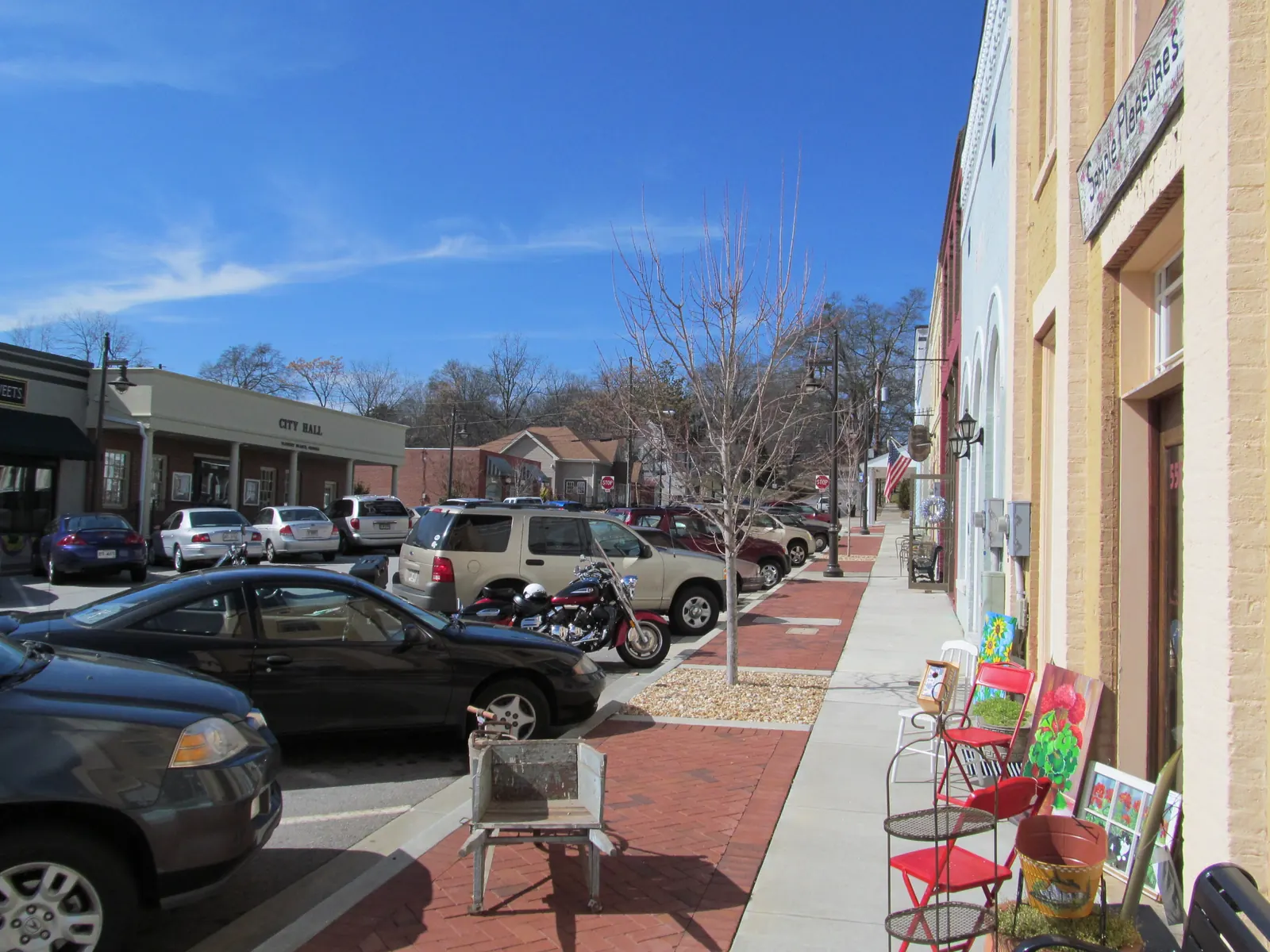
Both marinas list downtown as about a mile away. Downtown has the 1890 depot at Railroad Avenue and Main Street and a row of restaurants on Main Street. Start with our Main Street guide and restaurants page, or see the wider picture on our Lake Lanier page.
Lake questions
Is the railroad still running through Flowery Branch?
Trains still run through town, but they no longer stop. The City says scheduled stops ended in 1957 and the depot was a flag stop until the late 1960s. The City's Bay Park page notes that a train runs along the edge of the water beside the park, and the New Georgia Encyclopedia says the line later became Norfolk Southern.
Can you get on Lake Lanier from Flowery Branch?
Yes. The City's Flowery Branch Bay Park has shore and pier fishing, but no boat ramp. The City says boat ramps are right next door at Hideaway Bay Marina. Two Safe Harbor marinas, Aqualand on Lights Ferry Road and Hideaway Bay on Mitchell Street, are in Flowery Branch and each list downtown as about a mile away.
How do you get to Flowery Branch Bay Park?
The City's directions are to take I-985 to Exit 12, go west toward Lake Lanier on Phil Niekro Blvd. to Atlanta Highway, cross the railroad tracks, and follow the signs for Flowery Branch Park, Hideaway Bay Marina or Fish Tales Lakeside Grill. The park pavilion can be reserved through the City, but it has no lights.
Which marinas are near downtown Flowery Branch?
Safe Harbor Aqualand is at 6800 Lights Ferry Rd. and has wet slips, dry storage, a fuel dock and the Pig Tales restaurant. Safe Harbor Hideaway Bay is at 6334 Mitchell St. and has slips, dry storage, a fuel dock and the FishTales restaurant. Both list downtown Flowery Branch as about 1 mile away.
Source: Safe Harbor Aqualand and Safe Harbor Hideaway Bay (official marina pages)
How big is Lake Lanier?
A U.S. Army Corps of Engineers listing on Recreation.gov gives Lake Lanier 38,000 surface acres, 690 miles of shoreline and over 100 small islands. The Corps says it welcomes over 7.5 million people a year, which makes it the most-visited Corps project in the country. The lake is fed by the Chattahoochee and Chestatee rivers.
When was Lake Lanier built?
The Corps of Engineers says Congress authorized Buford Dam in 1946, and construction ran from 1951 to 1956. The dam holds back the Chattahoochee River about 25 miles northeast of downtown Atlanta and created Lake Sidney Lanier. The dam's power plant came online in 1958. The Corps still operates the lake.
Written by the Downtown Flowery Branch Editorial Team. AI tools help us draft; people check every fact before it publishes.
Dates, rules and hours can change. The organisers have the final word: City of Flowery Branch